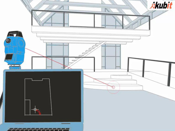
Real-time drawing of 2D floor plans
TachyCAD can quickly build a 3D building model on site through a total station
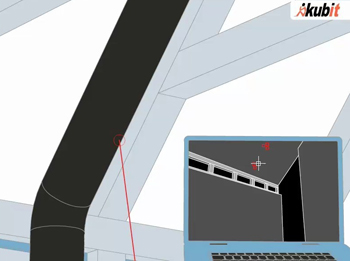
Real-time 3D modeling
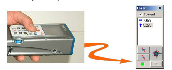
In addition, TahcyCAD also supports real-time data collection and drawing with handheld rangefinders.
TachyCAD is designed for fast and effective field measurement and data acquisition. After the on-site work is completed, there is no need to edit and post-process, and the work is completed after leaving the site!
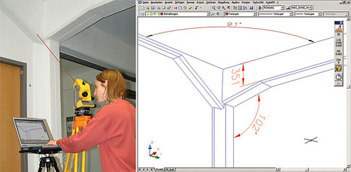
TachyCAD is a simple and easy-to-use real-time drawing software, and staff who do not have much technical experience can also easily carry out measurement work.
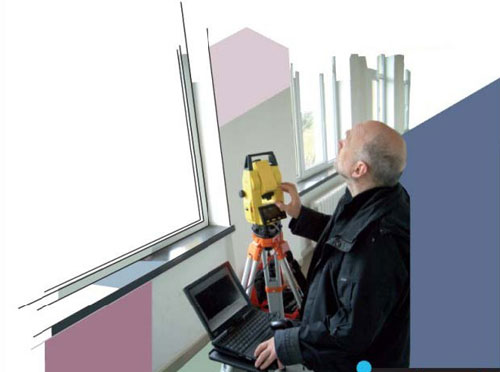
Real-time measurement drawing through TachyCAD
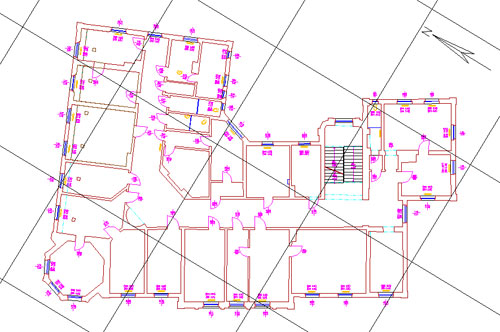
Measurement result
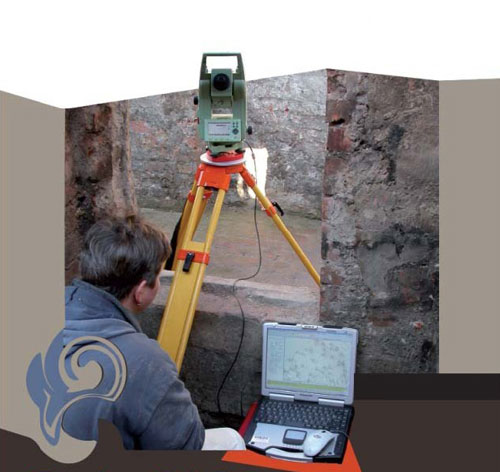
The archeological site is 3D modeled and digitally archived through TachyCAD


