Pointsense Pro provides a large number of efficient tools for drawing, modeling, analysis and processing, and directly supports Faro, Riegl, Leica, Trimble scanning engineering documents
Automatically obtain the matching line through the point cloud trend, submit the plan and elevation results, automatically calculate the point cloud fitting 3D model, and match the photo with the point cloud.
3D modeling, fast color slicing, conflict detection of point clouds and models, etc.
Features:
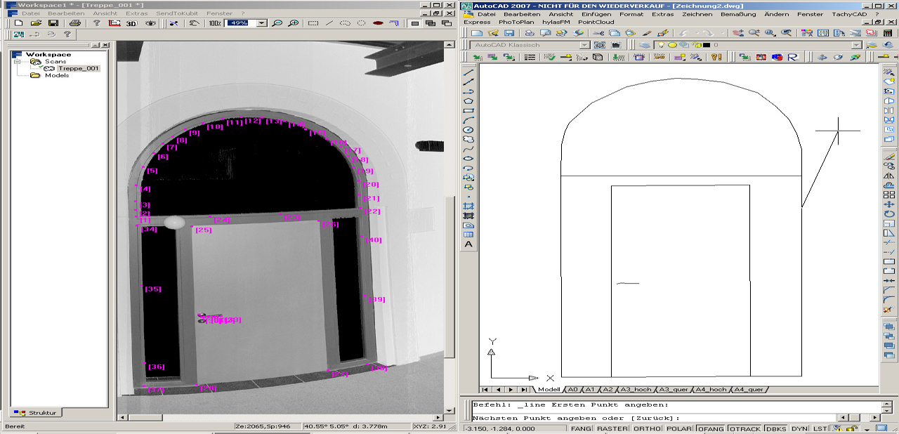
Pointsense Pro can enable Faro Scene, RiscanPro and AuotoCAD to realize real-time transmission, and open the two software at the same time to realize real-time scanning based on
Real-time drawing of point cloud images.
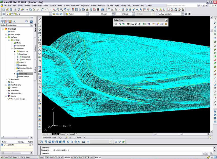
Point cloud data is used to generate Mesh grids through Pointsense Pro software for rapid construction of irregular shapes, such as topography, geological rocks, ruins,
Cultural relics, Buddha statues, etc.
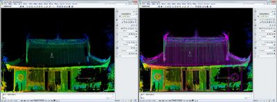
Through the adaptation line function, the point cloud is automatically tracked and captured, and the plan and elevation diagrams are generated:
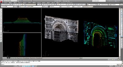
The fast section function can instantly intercept the required section effect and automatically fit the line for the generation of ancient building section structure diagrams, tunnel section diagrams, contour diagrams, etc.
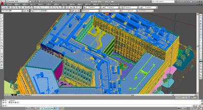
The powerful modeling function of Pointsense Pro can quickly analyze the main structure lines and wall foot points of the building, and 3D modeling is no longer time-consuming and labor-intensive.
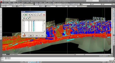
The intuitive and efficient "layered" point cloud manager can distinguish each piece of data by color, display/hide, and even more sites can be effectively managed, and the machine memory can be retracted and released freely.
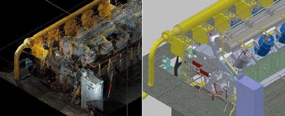
With the automatic model fitting function, a 3D model can be obtained through automatic point cloud calculation, and conflict detection and analysis can be performed. The three-dimensional digital work of mechanical facilities and factory pipelines has become extremely simple.
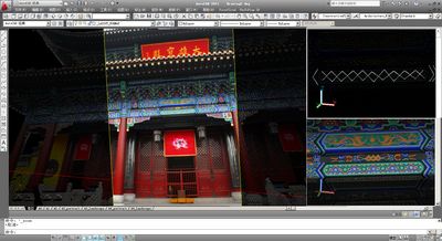
Pointsense Pro provides an excellent drawing function-real image drawing, which combines the advantages of the three-dimensional space of the point cloud and the high-resolution advantage of the photo. By matching the photo on the point cloud, you can draw directly, and the corresponding line will be drawn directly. In the real position, no more details will be lost due to the density of the point cloud!
